
Our Services
Precision Aerial Solutions
From detailed mapping to comprehensive inspections and immersive virtual tours, we deliver actionable aerial data tailored to your project needs.
SERVICE 01
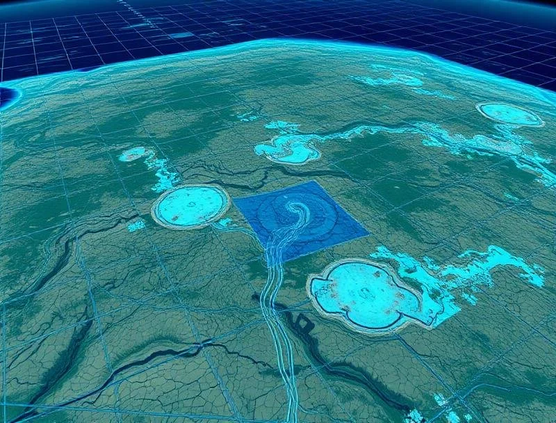
Mapping & Modeling
Transform your site into accurate 2D and 3D visual data. We capture every angle using RTK-equipped drones for precise maps, models, and measurements that drive smarter decisions.
✓ High-resolution orthomosaic maps
✓ Accurate 3D terrain models
✓ RTK-equipped precision drones
✓ Volumetric measurements
✓ GIS-compatible deliverables
SERVICE 02
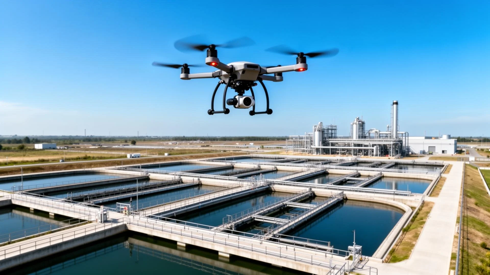
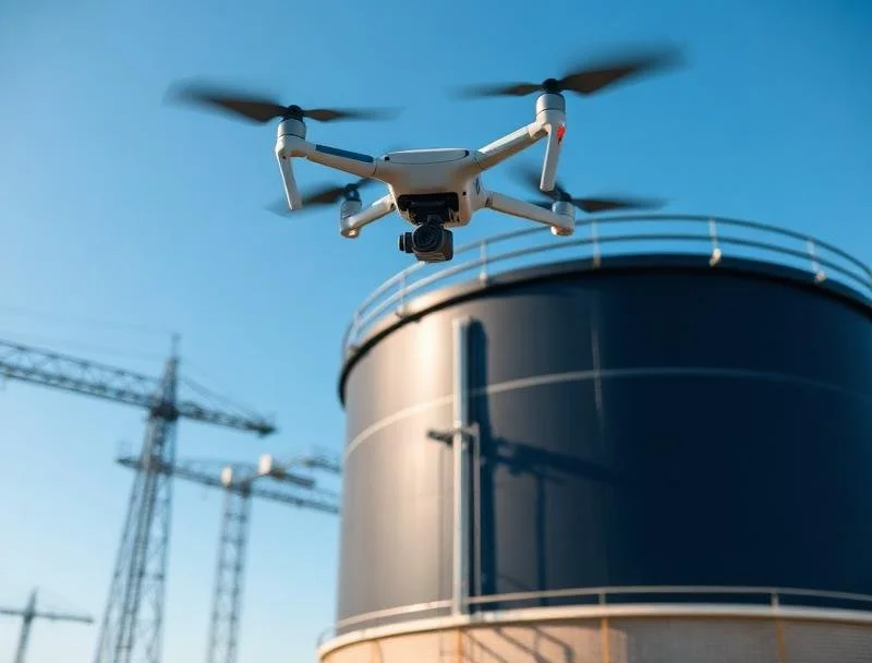
Inspections
Cut risk and save time with high-resolution aerial inspections. From water and wastewater plants to rooftops and industrial systems, we provide detailed visuals safely and efficiently.
✓ Thermal imaging capabilities
✓ High-resolution photo documentation
✓ Safe and efficient access
✓ Detailed inspection reports
✓ Reduced downtime and risk
SERVICE 03
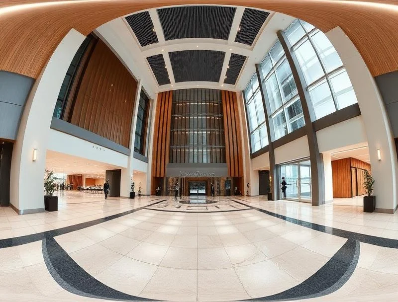
Virtual Tours
Showcase your property or facility with immersive 360° Matterport and Insta360 tours. Perfect for real estate, construction documentation, and community engagement.
✓ 360° Matterport scanning
✓ Insta360 immersive experiences
✓ Interactive floor plans
✓ Virtual walkthrough navigation
✓ Web-ready delivery
SERVICE 04
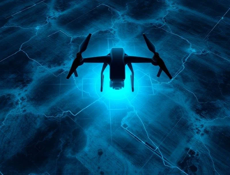
GIS & Data Collection
We provide accurate, georeferenced data for asset management, mapping, and analysis using Pix4Dmapper, Pix4Dcloud, and GNSS systems.
✓ Georeferenced aerial data
✓ Asset management support
✓ Pix4D processing
✓ GNSS integration
✓ Engineering-grade accuracy
SERVICE 05
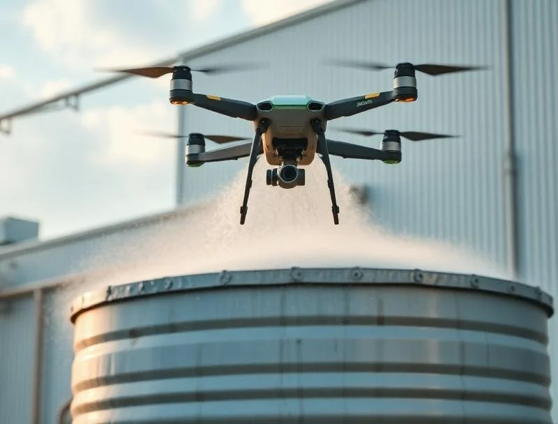
Drone Power Washing
Through our partnership with Lucid Power Washing Systems, we deliver safe, efficient drone-based cleaning for buildings, tanks, and infrastructure—eliminating the need for scaffolding.
Lucid Drone Partnership
✓ Zero-risk height cleaning
✓ Fast setup and execution
✓ Eco-friendly solutions
✓ Cost-effective maintenance
✓ Industrial-grade results

Training & Consultation
SERVICE 06
We provide FAA Part 107 prep, mapping training, and custom drone program consulting for individuals and organizations looking to integrate drone technology safely and effectively.
✓ FAA Part 107 test preparation
✓ Mapping software training
✓ Custom program development
✓ Safety protocol consulting
✓ Hands-on flight training