
Our Drone Services
Professional aerial mapping, inspections, and visual data capture designed to improve safety, accuracy, and decision-making.
🗺️ 2D / 3D Mapping & Modeling
Capture precise site data with RTK-equipped drones and Pix4D processing. We produce high-resolution orthomosaics, 3D models, and contour maps for construction, utilities, and environmental planning.
Deliverables:
Orthophotos | Contours | 3D Mesh Models
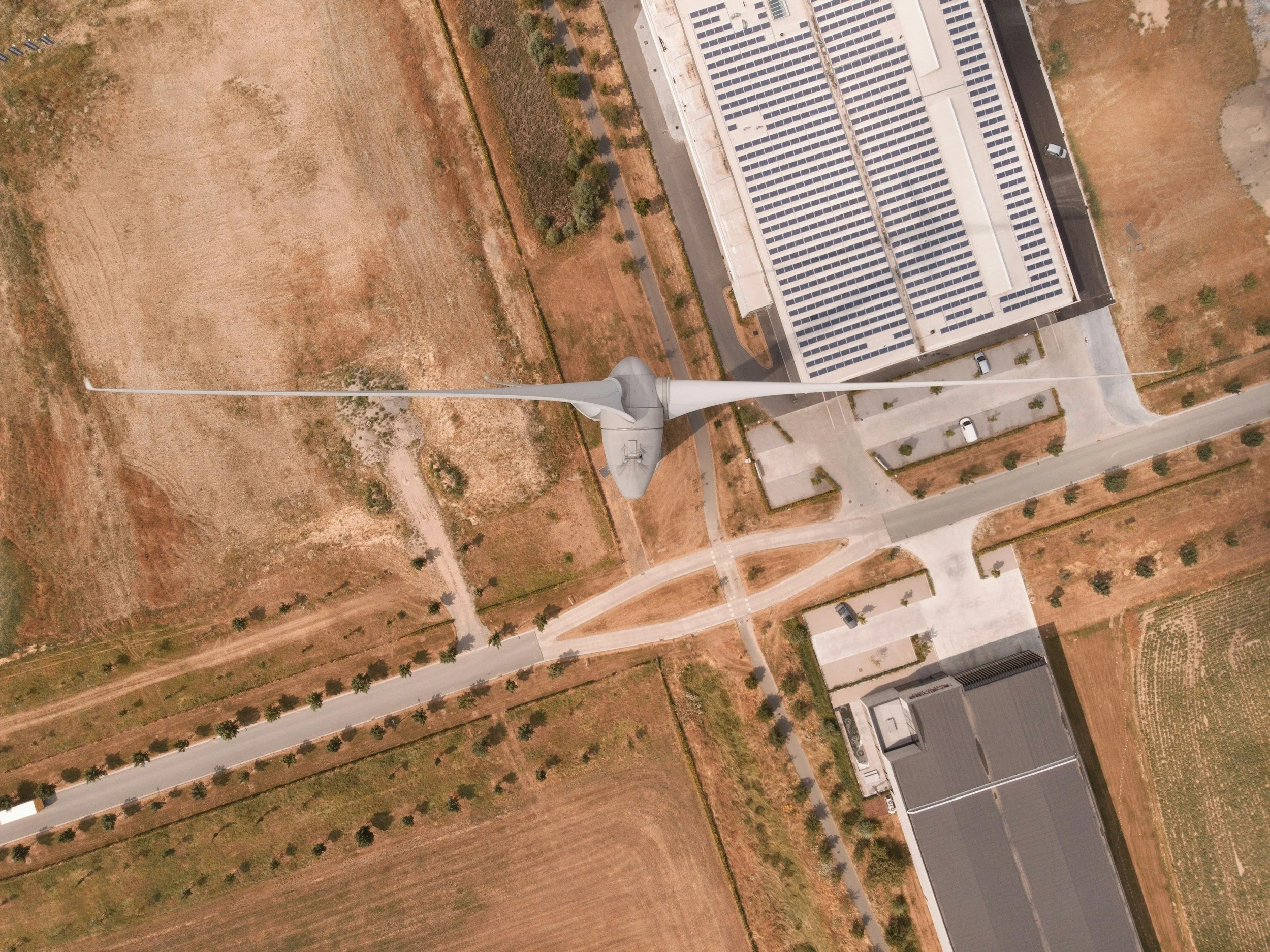
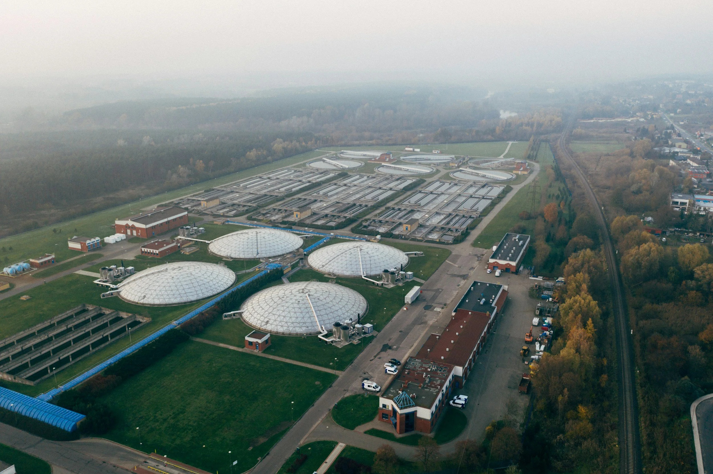
🧱 Infrastructure & Utility Inspections
From water and wastewater plants to rooftops and solar fields, we perform detailed inspections safely and efficiently—reducing downtime and risk.
Benefits:
HD Imagery | Thermal Options | Fast Turnaround
🏠 Virtual Tours & Real Estate
Bring spaces to life with immersive 360° Matterport and Insta360 tours. Perfect for showcasing real estate, documenting construction, or engaging communities.
Includes:
Interior & Exterior Tours | Drone Fly-Throughs | Branded Embeds
🛰️ GIS & Data Collection
We provide accurate, georeferenced data for asset management, mapping, and analysis using Pix4Dmapper, Pix4Dcloud, and GNSS systems.
Applications:
Infrastructure Planning | Site Documentation | Engineering Support
🧽 Drone Power Washing & Exterior Cleaning (Lucid Drone Partnership)
Through our partnership with Lucid Power Washing Systems, Optimum Aerial Solutions delivers safe, efficient drone-based cleaning for buildings, tanks, and infrastructure.
This advanced system removes dirt, algae, and contaminants while eliminating the need for scaffolding or lifts—saving time and reducing safety risks.
Ideal For:
Water Tanks & Silos
Industrial Facilities
Multi-Story Buildings
Roofs, Panels & Exteriors
Benefits:
Zero-Risk Height Cleaning | Fast Setup | Eco-Friendly | Cost-Effective
🎓 Training & Consultation
We provide FAA Part 107 prep, mapping training, and custom drone program consulting for individuals and organizations looking to integrate drone technology safely and effectively.
Industry Applications
Who We Serve:
Water & Wastewater Utilities
Municipal & State Governments
Real Estate & Development
Construction & Engineering
Environmental & Agricultural Projects
Emergency Response / Search & Rescue
Ready to take your project higher?
Let’s discuss your mapping or inspection needs today.